About SummitSight
Advanced Geolocation Through Skyline Analysis
What is SummitSight?
SummitSight is an innovative geolocation tool that uses advanced computer vision and contour analysis to identify locations based on skyline images. By analysing the unique "fingerprint" of mountain ridges and horizons, we can match your uploaded images to known geographical locations in our database.
How It Works — Pipeline Walkthrough
Your image goes through a multi-stage processing pipeline:
- Segmentation: SegFormer extracts a sky mask from the photo using semantic segmentation
- Curve Extraction: The sky–terrain boundary is traced as a 1-D elevation profile
- FFT Coarse Search: Fast Fourier Transform cross-correlation scans 1.35 million pre-computed skyline fingerprints in ~14 chunks
- KD-Tree Refinement: The top coarse matches are geographically clustered, then re-scored with NCC, Chamfer distance, RMSE and elevation weighting
- Final Ranking: Composite confidence score combines all metrics to produce ranked candidates
How Confidence Is Calculated
Each candidate receives a confidence score from four factors. We normalize each metric, apply fixed weights, then combine them into a final score out of 100.
45% - NCC
Normalised cross-correlation captures skyline shape similarity between your query and database profile.
25% - Chamfer
Asymmetric Chamfer distance measures geometric closeness of the skyline boundary, robust to clutter.
15% - RMSE
Root mean square error penalizes profile mismatch in elevation angle across the aligned segment.
15% - Elevation Profile
Elevation-profile scoring checks whether terrain structure and ridge variation are physically plausible.
Confidence = 100 x (0.45 x NCC + 0.25 x Chamfer + 0.15 x RMSE + 0.15 x Elevation)
Technology Stack
Frontend
HTML5, CSS3 (dark mode), JavaScript, Leaflet.js maps, Canvas API charts
Backend
Node.js with Express proxy, Python Flask API for ML inference
AI Models
SegFormer semantic segmentation model for robust sky masking and skyline extraction
Search Engine
FFT cross-correlation on 1.35M skylines, KD-tree geographic refinement, NCC+Chamfer scoring
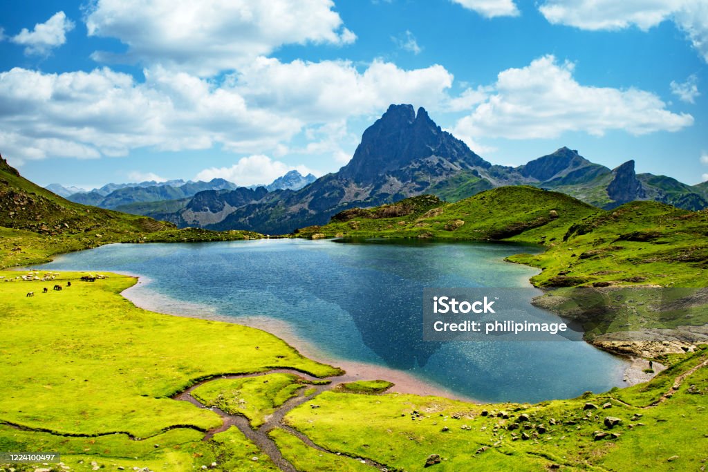
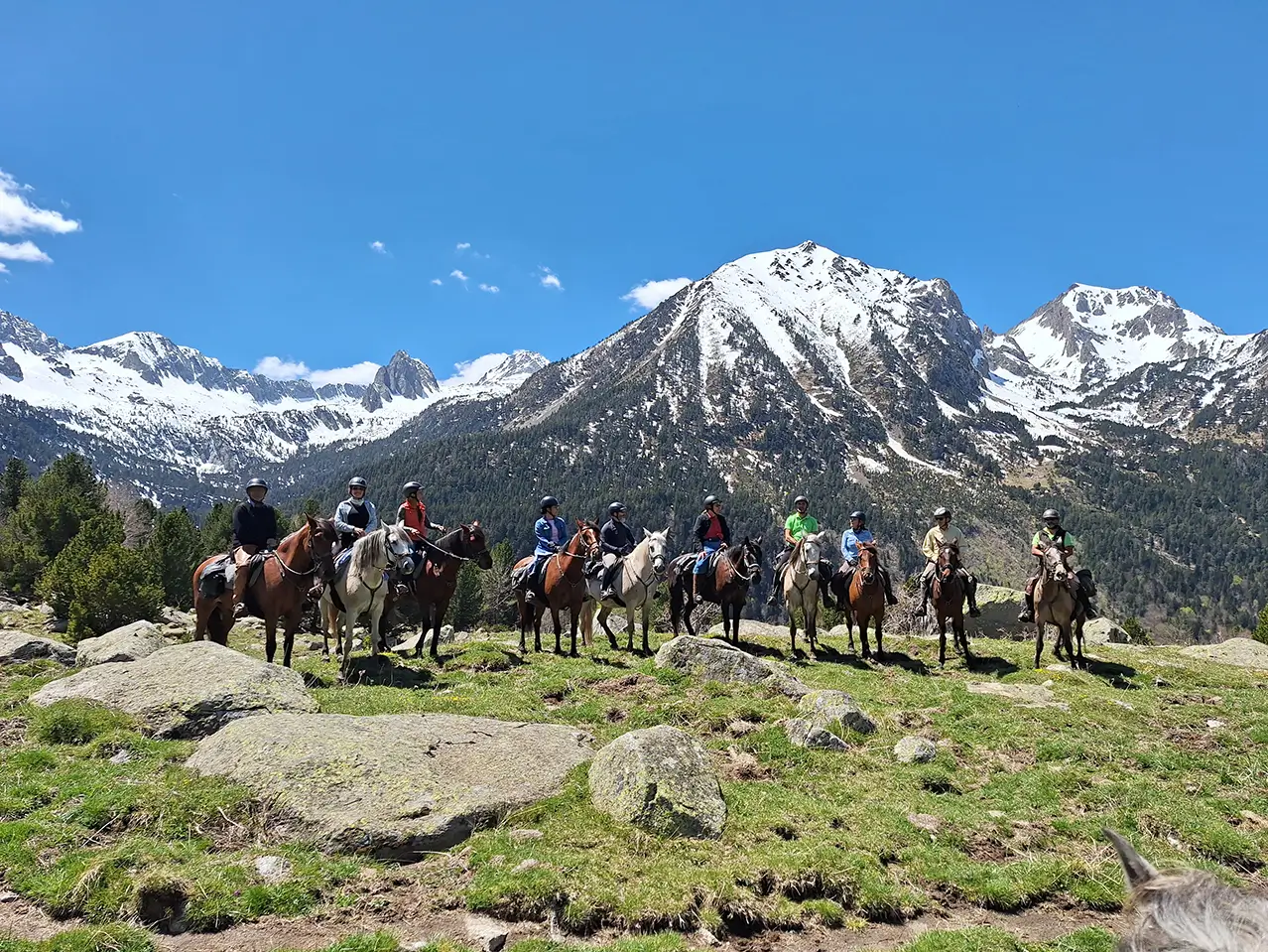
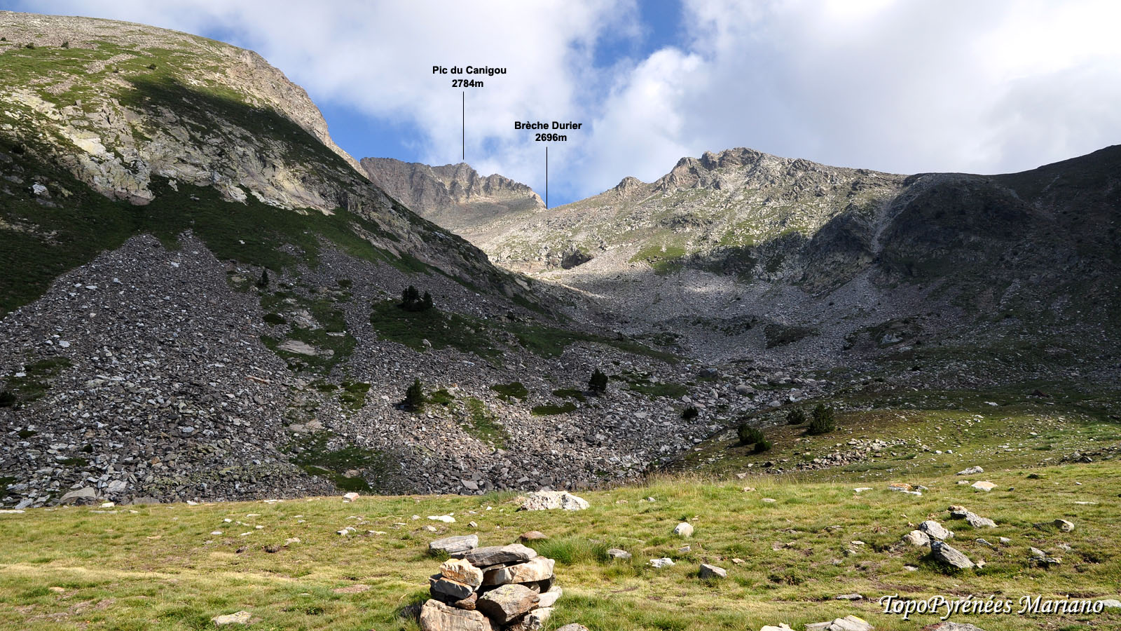
Example Gallery
Click any example to open the interactive gallery page and step through a fast pipeline replay.
Database Coverage
SummitSight's database currently covers the Pyrenees mountain range with 1,347,655 viewpoints at 250 m resolution. Coverage is stored in seven uniform tiles shown below:
Coverage tiles: 7 (uniform) | Lat/Lon extent: 42°N – 44°N, 2°W – 3°E | Resolution: 250 m grid
Use Cases
Hiking & Outdoor Recreation
Identify your location when hiking or exploring new terrain
Photography
Rediscover where old landscape photos were taken
Research
Geolocation analysis for scientific and academic purposes
Exploration
Plan trips by identifying interesting mountain ranges
Tips for Best Results
- Use clear images with visible skylines or mountain ridges
- Avoid images with heavy fog, clouds, or obstructions
- Higher resolution images typically provide better results
- Images taken during clear weather conditions work best
- Ensure the horizon is clearly visible in the photograph